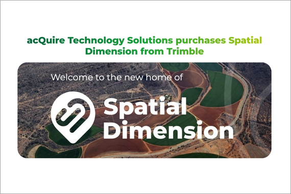
Driving enhanced revenue collection, improved services, and sustainable economic development for government agencies.
Read moreManage the entire cadastral data collection process from field work to office deliverables with GNSS, GIS, and survey technologies.
Read moreManage upstream tenure, permits and commercial agreements across the oil and gas sector.
Read moreLandfolio has done the Department of Geological Survey and Mines proud and has reduced processing significantly as well as enhanced transparency in the mining sector. Today we boast of keeping pace with latest technology and developments.
Gabriel Data, Project Coordinator, Ugandan Department of Geological Survey and Mines
By clicking submit, you acknowledge you agree to the Trimble Privacy Policy.